
Our 4 Day Walk On The Clutha Gold Trail
An epic walking trail from Roxburgh to Lawrence
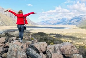
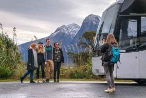
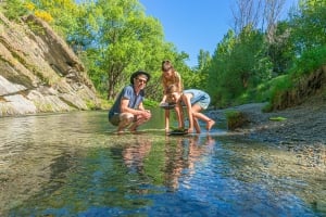
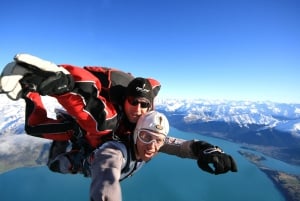
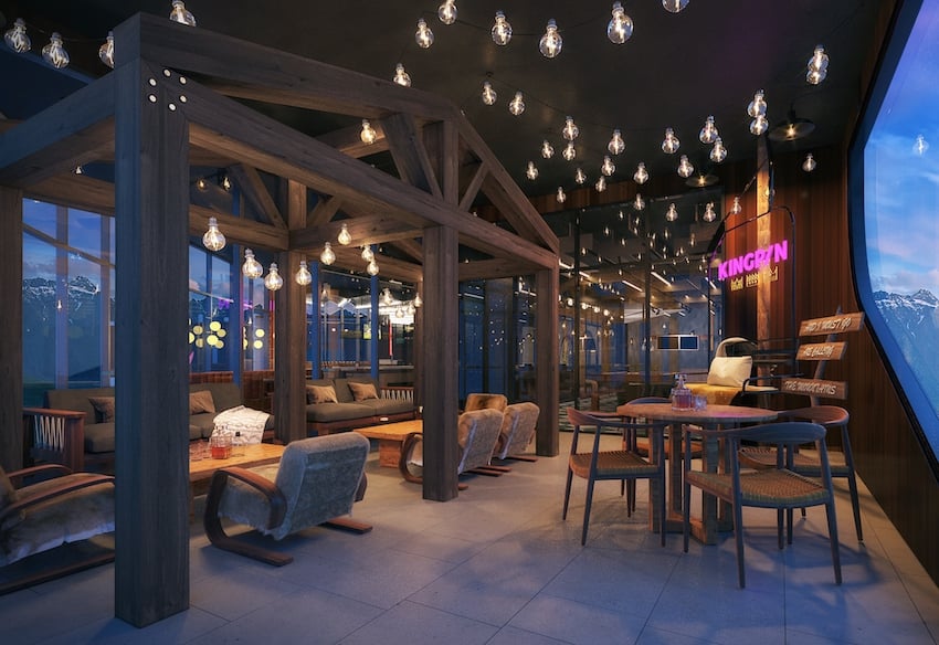
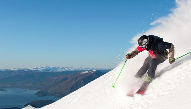
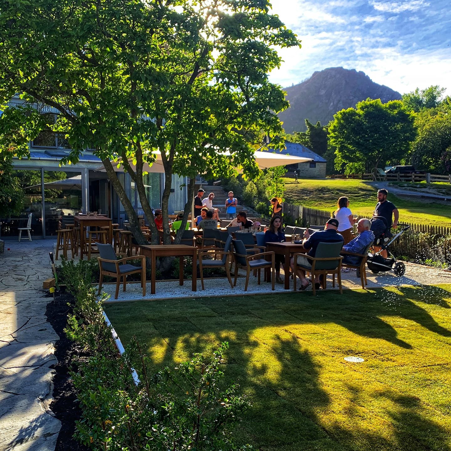
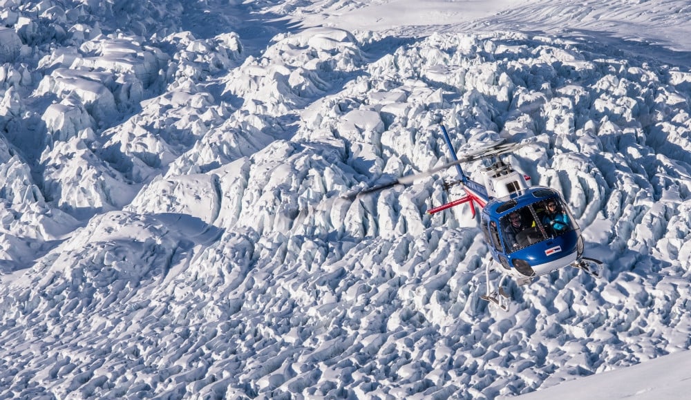
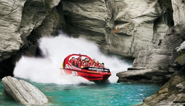
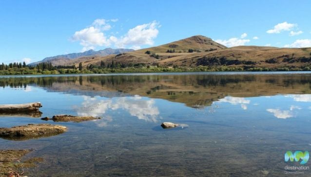
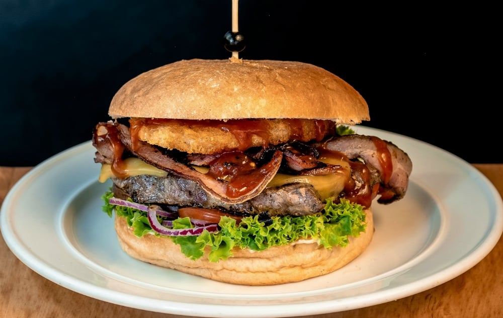
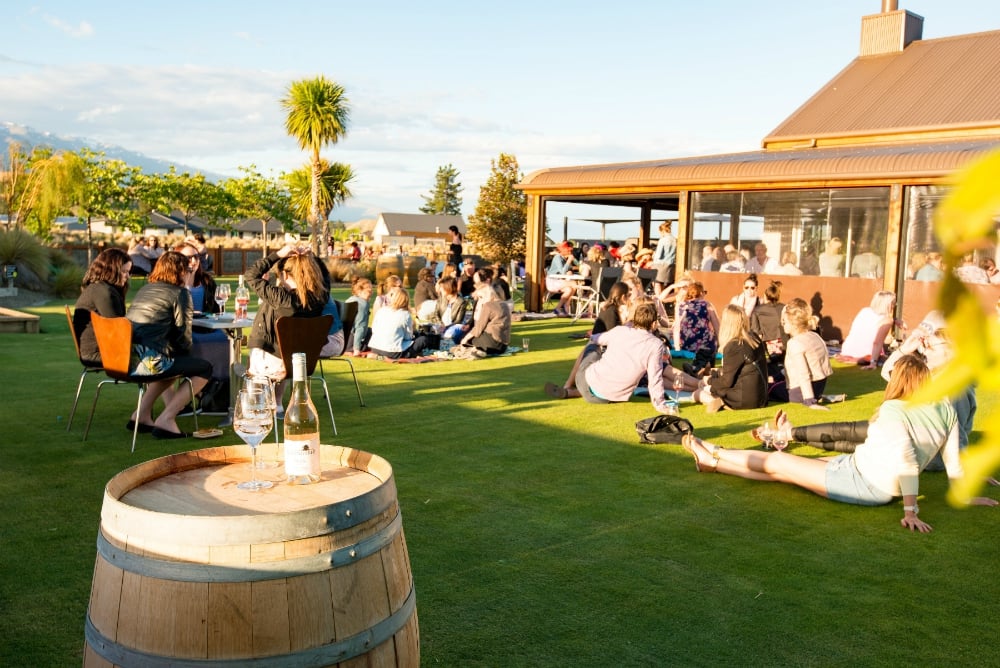
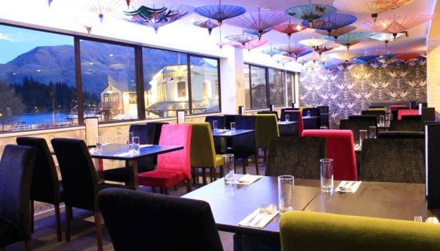
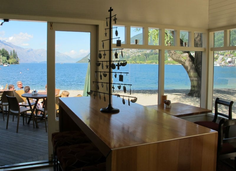
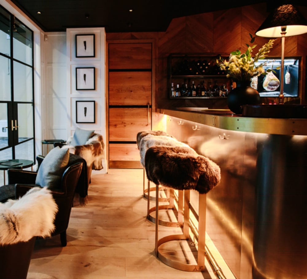
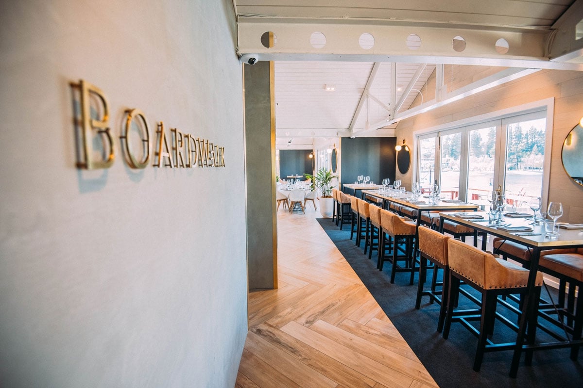
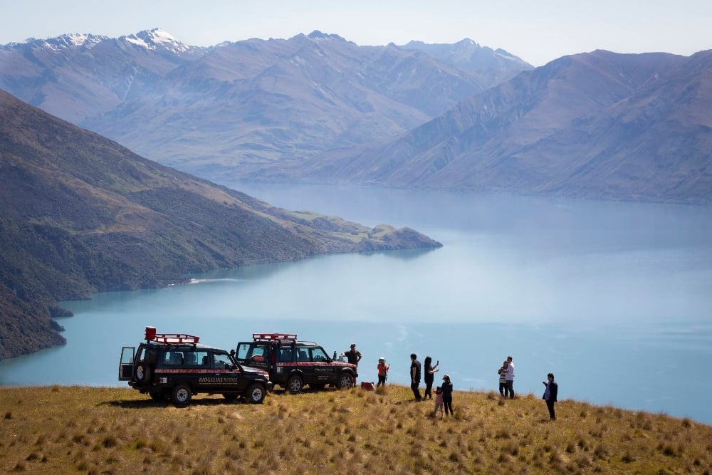
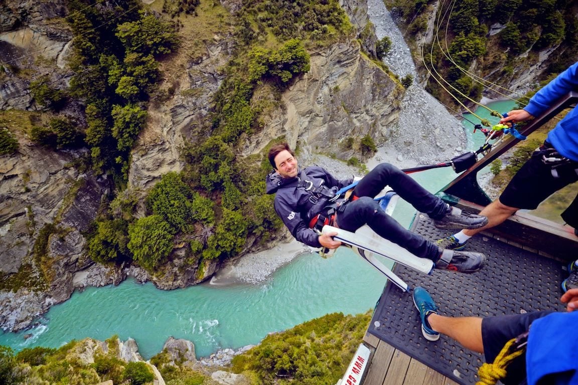
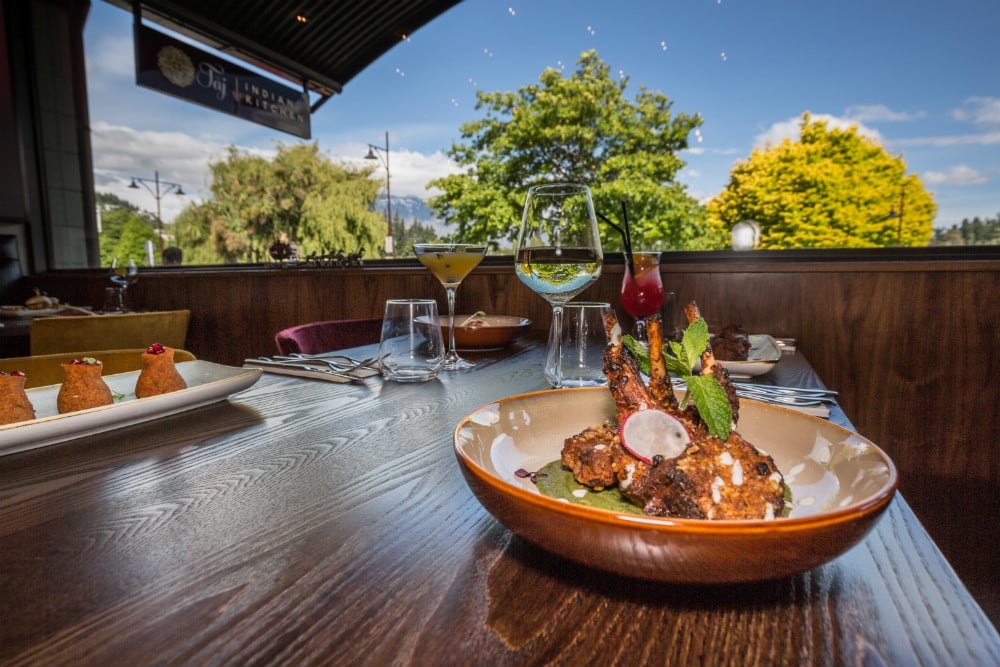
Book Top Experiences and Tours in Queenstown:
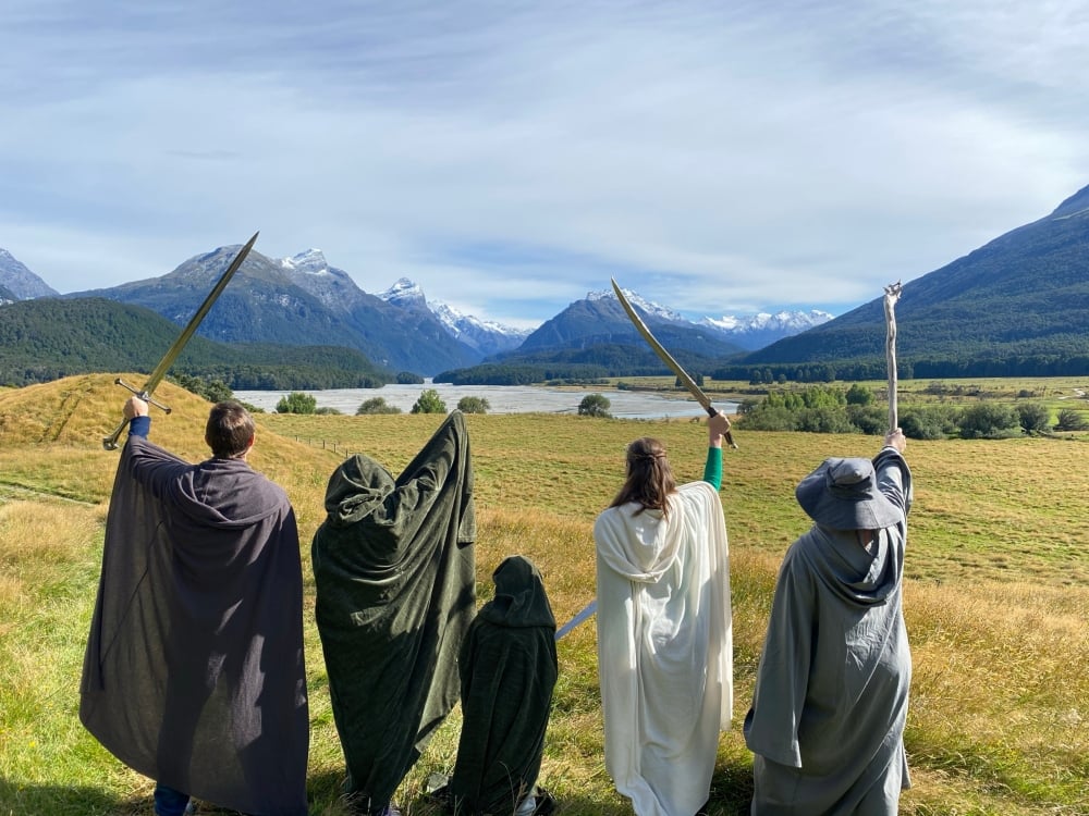
If youʻre booking your trip to Queenstown last minute, we have you covered. Below are some of the top tours and experiences!- Queenstown: Half-Day 4WD Lord Of the Rings Discovery Tour
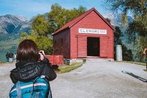
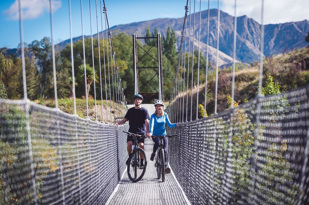
- From Queenstown: Glenorchy and Paradise Scenic Half-Day Tour
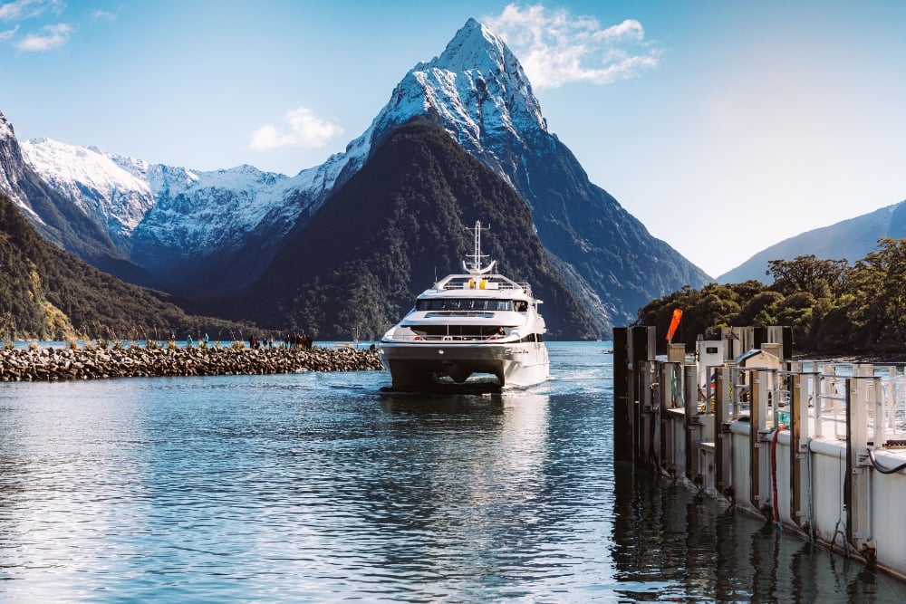
- From Queenstown: Milford Sound Cruise and Coach Day Trip
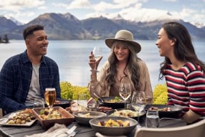
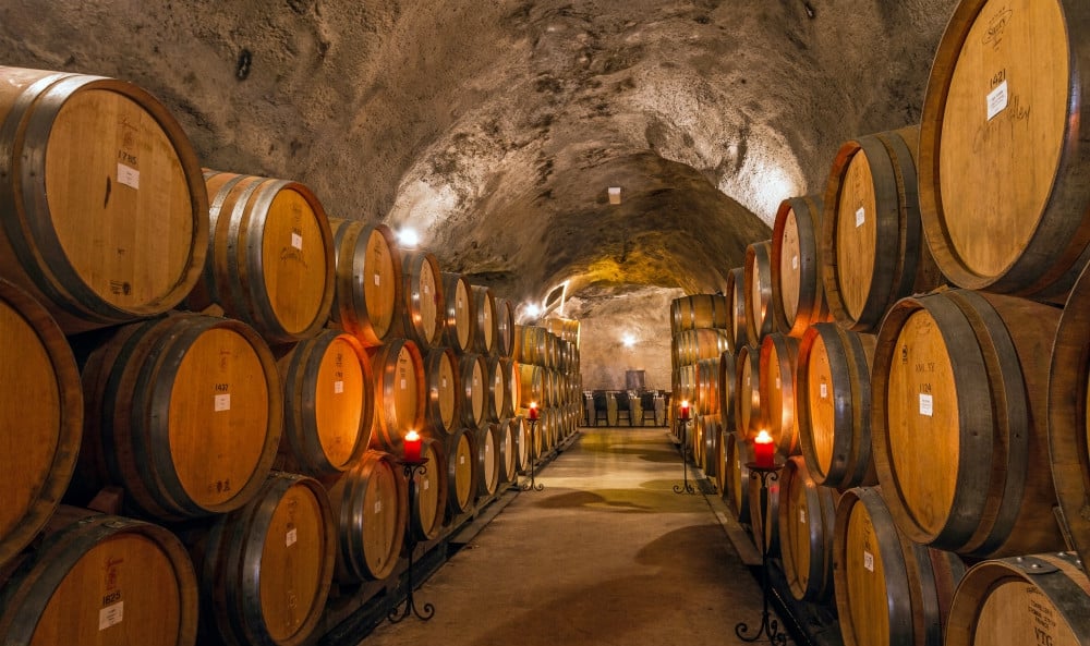
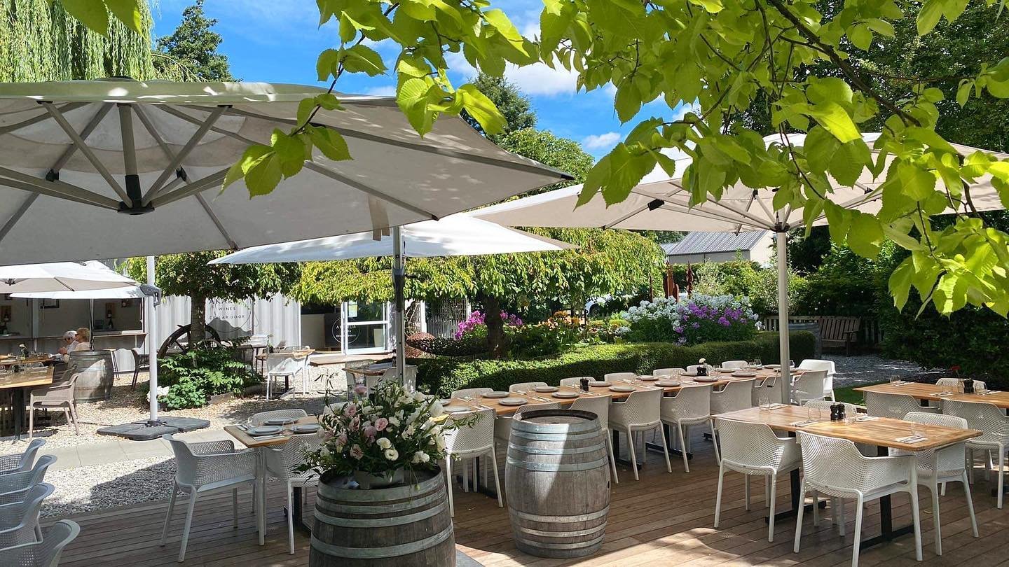
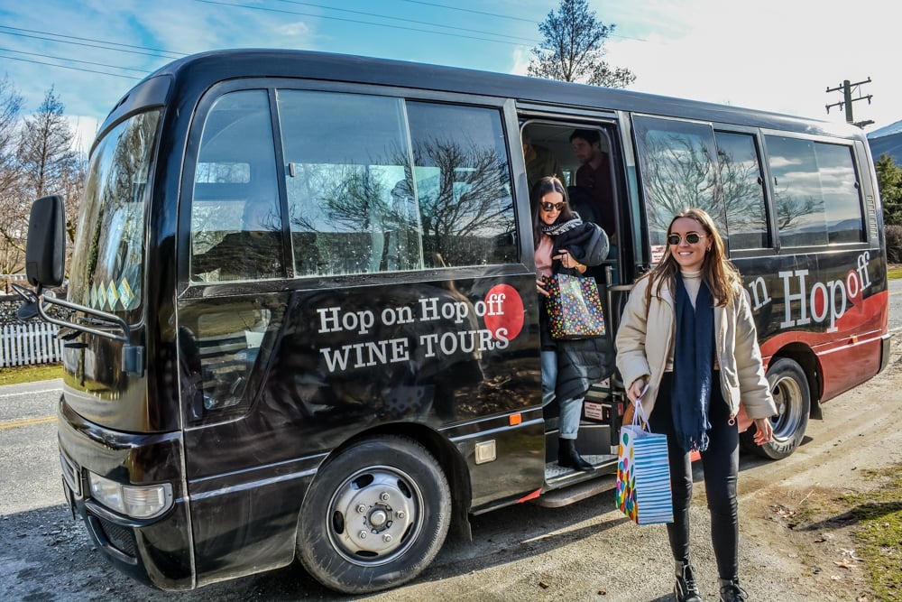
- From Queenstown: 3 Winery Tour with Gourmet Wine & Lunch
- Gourmet Food and Wine Tour with Lunch and Wine Tastings
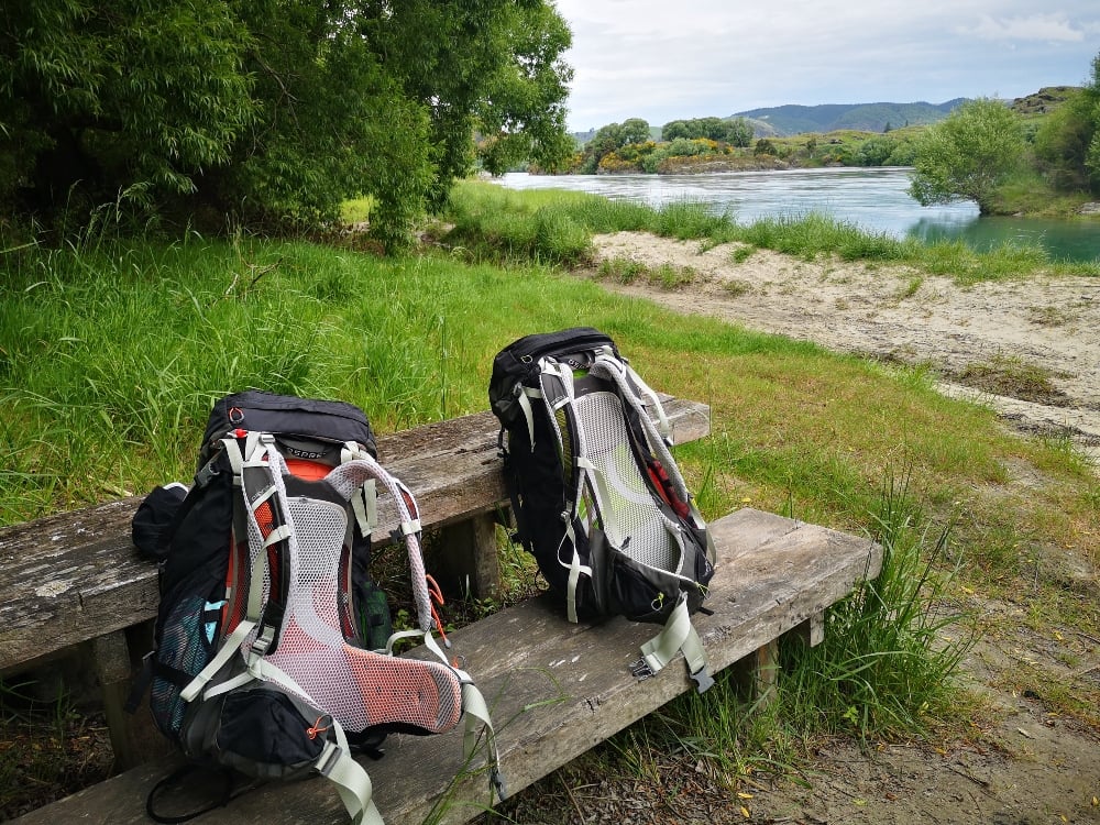
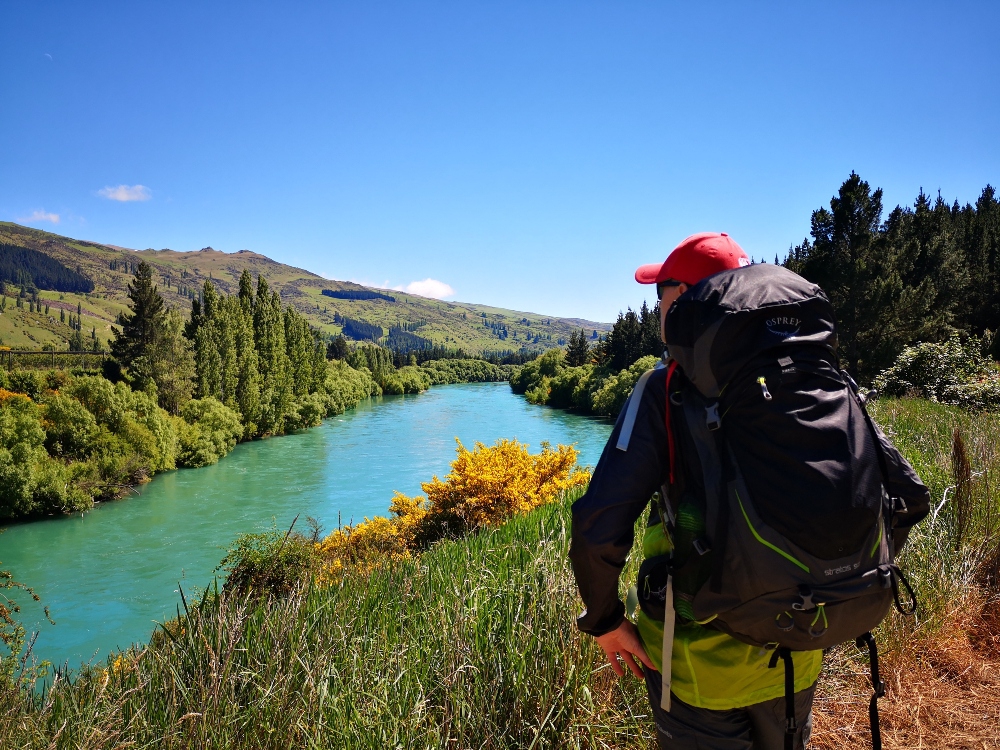
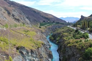
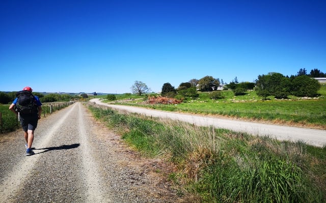
Most people cycle the Clutha Gold Trail, we walked. 73km. 4 days. 24 hours of trekking.
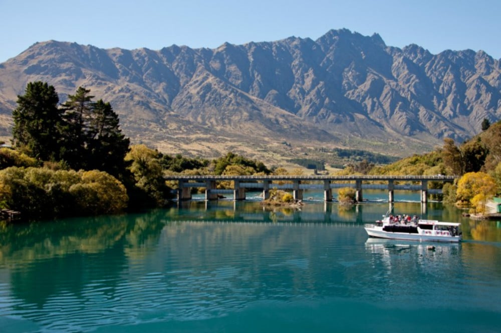
The Clutha Gold Trail is a joy to walk. My wife and I are by no means experienced hikers. In fact this was our first walk over 6 hours. But the relatively gentle terrain alongside the sparkling turquoise waters of the Clutha River meant we could actually enjoy, rather than endure the walk. During our four days, we hiked through a fertile valley, secluded gorge, lush green farmland accompanied by continuous views of this gorgeous river.
Our route took us through the four settlements of Roxburgh, Millers Flat, Beaumont and Lawrence. We stayed overnight at the first three, before catching the bus at Lawrence. This is what we encountered.

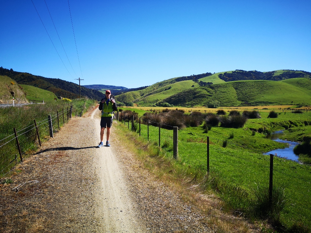
Day 1 - Roxburgh Hydro Dam to Roxburgh (9.4km)
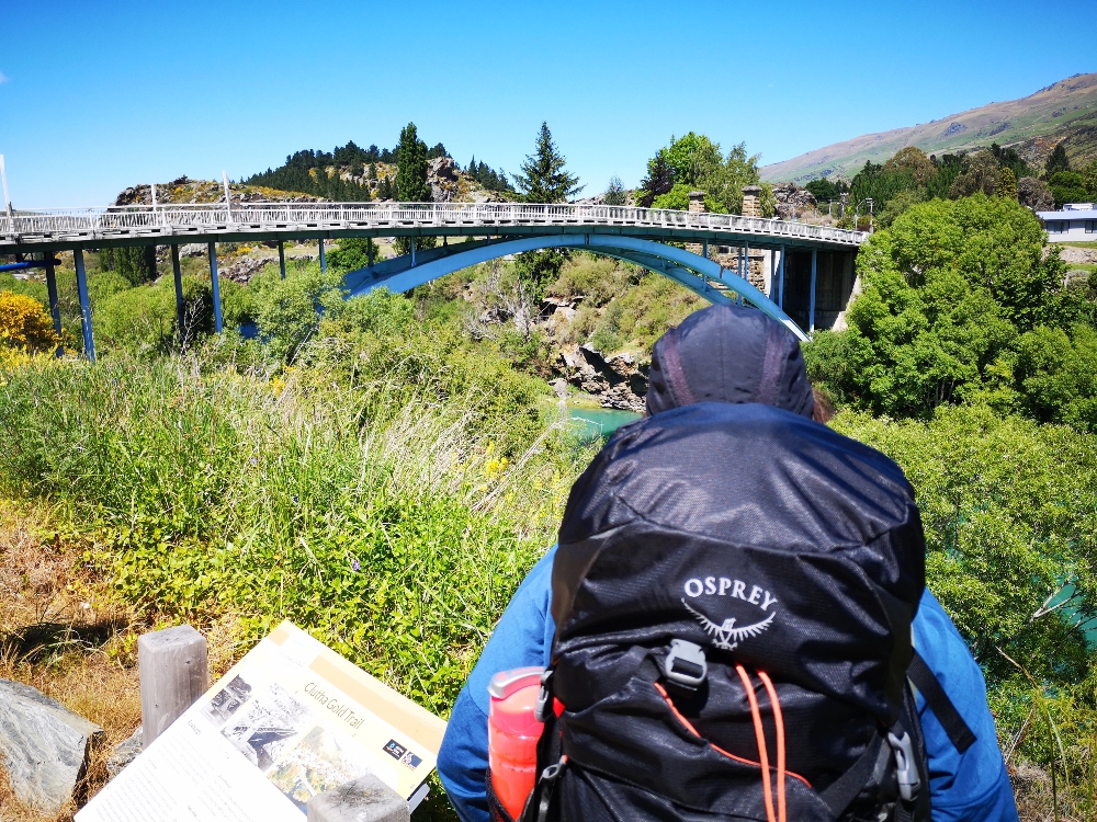
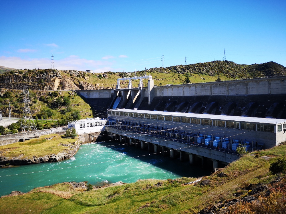
Catching the 8.00am Intercity bus from Queenstown, we managed to get the bus driver to drop us off close to the Roxburgh Dam rather than the scheduled stop further along at Roxburgh. This meant we could start the trail from the beginning. So, at around 10.00am we began our adventure. A few minutes' walk from the highway, we crossed the impressive Roxburgh Dam and took time to take in the views.
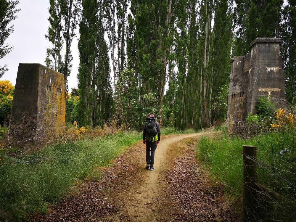
On the other side is an information panel marking the beginning of the 73 kilometre walk. From here, we followed the banks of the Clutha River with its distinctive turquoise water and fast currents. Information panels are dotted along the route highlighting signs of the 1880s' gold rush and recounting the conditions settlers faced. 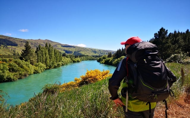
Every now and again we passed through forested areas to provide welcome shade from the sun bearing down on us. Fields of orchards on both sides of the valley offered a swathe of colour as we made our way to our first overnight stop of Roxburgh.
We stayed in a great value cottage at Clutha Gold Cottages. If you decide to stay here make sure you look for the yellow flags on the trail when you are a couple of kilometres from town - this provides a direct route from the trail to the cottages and will save you the mistake we made - walking to town first then having to double-back..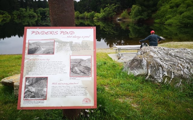
Day 2 - Roxburgh to Millers Flat (19.6km)
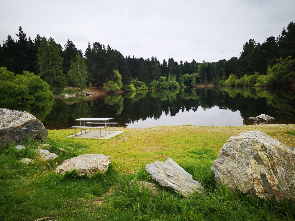
Setting out at 8.00am, we continued alongside the river, passing stunning hillside rock formations and large strands of regenerating native Ka-nuka (tea tree). The information panels gave us useful insight into the history of the Milton to Roxburgh railway line and the vegetation that we were passing through. Around 5km into the walk, it was time for a mini-break at Pinders Pond. The pond is a popular picnic and swimming spot set amongst mature trees with a bench to rest the legs and basic toilet facilities. The rest of the section continues with beautiful river views, farmland and plenty of rabbits to see - at times it was like walking in a scene from the film Watership Down.
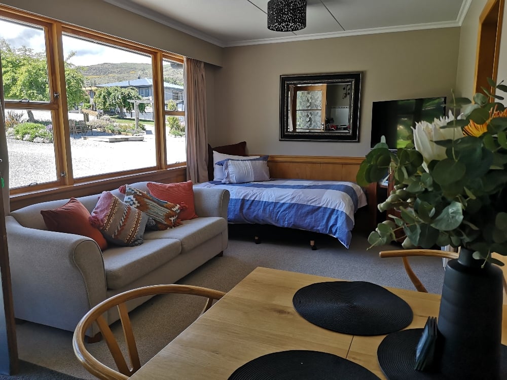
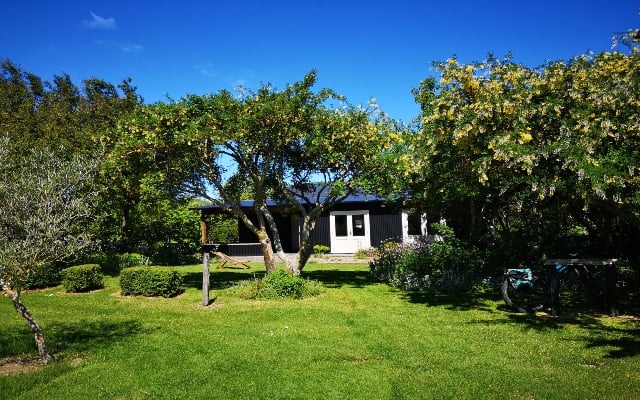
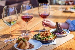
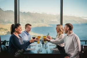
We stayed the night at The Quince, a luxury boutique accommodation with the most beautiful gardens. After a long day's hike, we were so glad to have picked this place. Lots of little touches, friendly service and a delicious breakfast the next morning rounded off a great stop. There are only two self-contained units in the grounds so make sure you book first! The Millers Tavern is the only pub and a good place for dinner (if you are not eating at the Quince) with surpisingly good value and quality food. 
Day 3 - Millers Flat to Beaumont (24.7km)
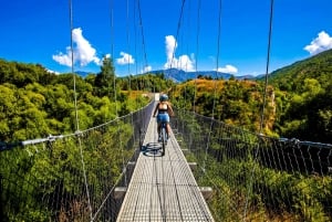
The longest section... Having had a great breakfast and armed with homemade biscuits and muffins given to us by our lovely hosts, we set off for through the remote and beautiful Beaumont Gorge. On the way and just off the trail, you can visit the historic Horseshoe Bend suspension bridge, while a short detour from the bridge car park leads to the site of the famed Lonely Graves. Instead, we opted to continue alng the trail to save our legs and look at the bridge from a view point further along.
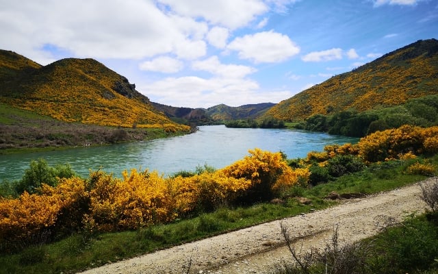
One of the most memorable sights on this section was the array of bright yellow Kowhai Trees that surrounded us as we headed towards Beaumont. Consulting the information panels once again, we learned about the native trees and the Moa birds that once roamed here.
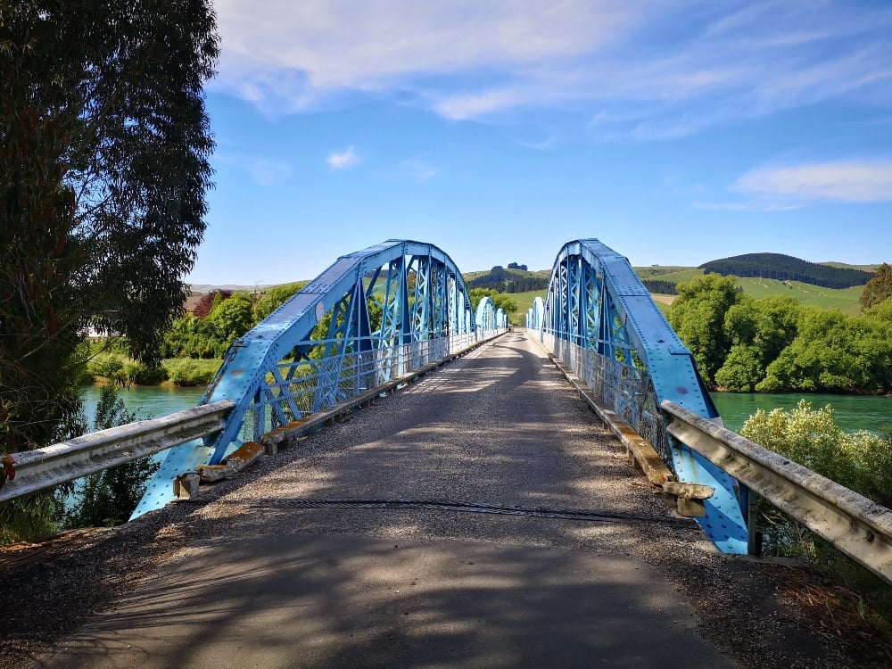
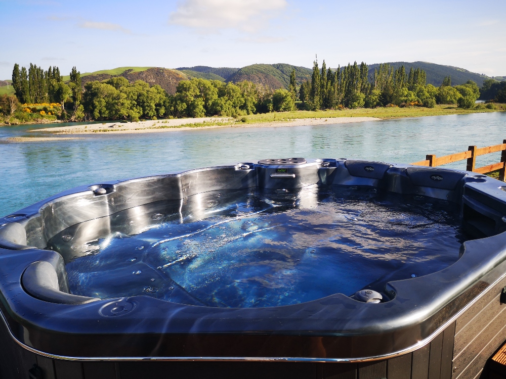
Crossing the Beaumont Bridge at State Highway 8 marked the end of a solid day's walk. We again struck gold with our choice of accommodation with the Mata-Au-Loge, a gorgeous luxury lodge right on the banks of the river. With a spa pool overlooking the river, an amazing massage chair, luxury rooms and dining areas, snacks and breakfast on hand, it was a delightful stay. We only wished we booked 2 nights! (Big thanks to Jude, our host).
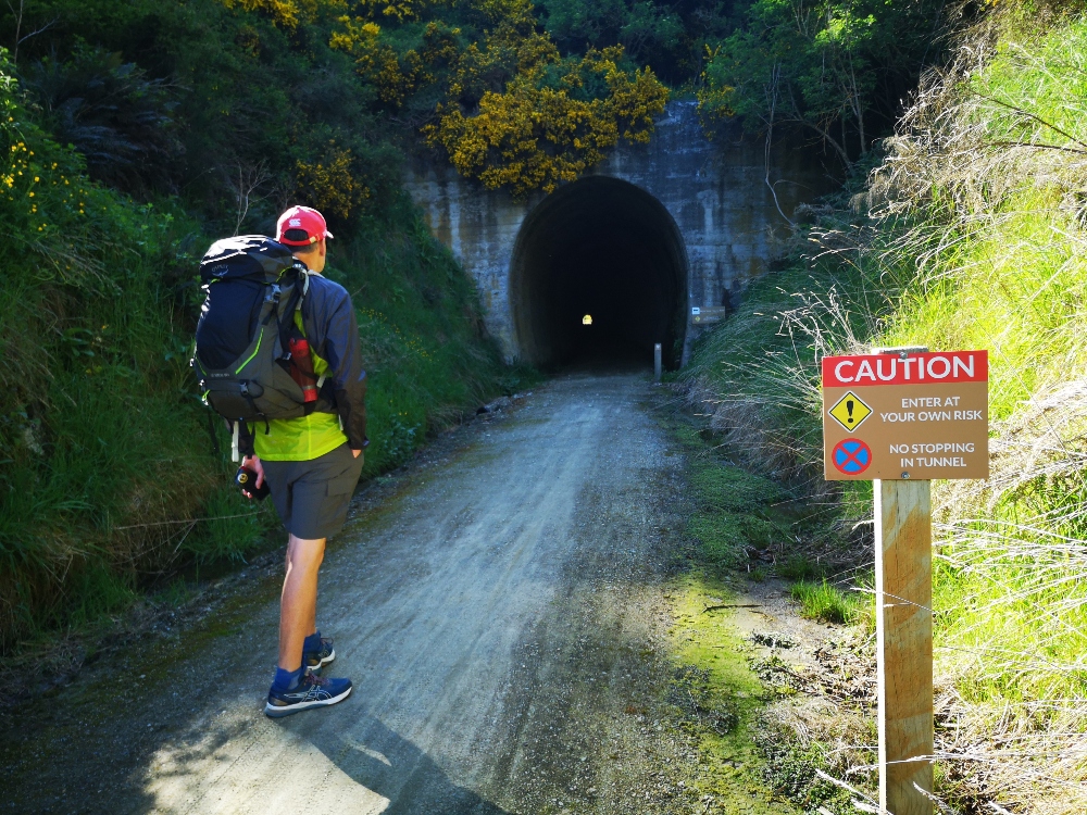
Day 4 - Beaumont to Lawrence (19.4km)
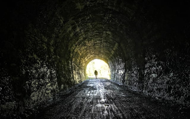
The last day, our legs are still holding up. The trail on this last section follows the roadside for large parts with no more river views but still offering beauiful scenery. We climbed towards the highest point of the trail and pased through the Big Hill Tunnel. Built in 1911 by up to 100 men, you will need to switch on your phone light and be careful where you tread during the 434 metres of darkness. Once through, we descended into lush green farmland, crossing the highway several times.
Along the way, you will see reminders of the regionâs history with the discovery of gold, the milling of flax fibre for rope making (Evans Flat) and the influx of Chinese prospectors to the goldfields which is seen about 1-2km from Lawrence. The last part of the walk took us through the pretty farmland of Evans Flat and past the Chinese Camp.
The trail itself formally ends 950 metres from Lawrence. So, we wearily continued under the hot sun towards our reward of a hearty lunch and some cold beers in our final destination, before catching the bus back to Cromwell (we would then catch the bus from Cromwell to Queenstown airport the next morning). As we reached our lunch stop, it felt good to take off the ruck sacks knowing there'd be no more walking. We'd recommend lunch at '26 on Ross' - the cheese toasties were lovely.
We had a fantastic time, enjoyed the peace and quiet and were captivated by the incredible scenery. I'm sure we'll do again one day...maybe on bikes though :)
Trail Photos:
Have at a look at our gallery for more photos of our journey.
What We Took:
- Osprey Rucksack carrying 7kg of weight of clothes and toiletries.
- 1.5 Litres of water each day.
- One of us had a pair of trainers, the other had trail runner shoes.
- A Poncho in case it rained
- We prepared lunch at our first overnight stop in Roxburgh (there is a small supermarket) so we could eat on the trail on days 2 and 3 as there are no places to stop on the way. For meals, we ate out at the local pubs except for Roxburgh when we got a Chinese takeaway.
Trail Info:
Visit the official Clutha Gold Trail website for further details on the route and to see the maps.